Overview
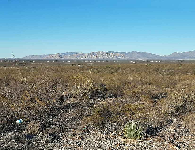
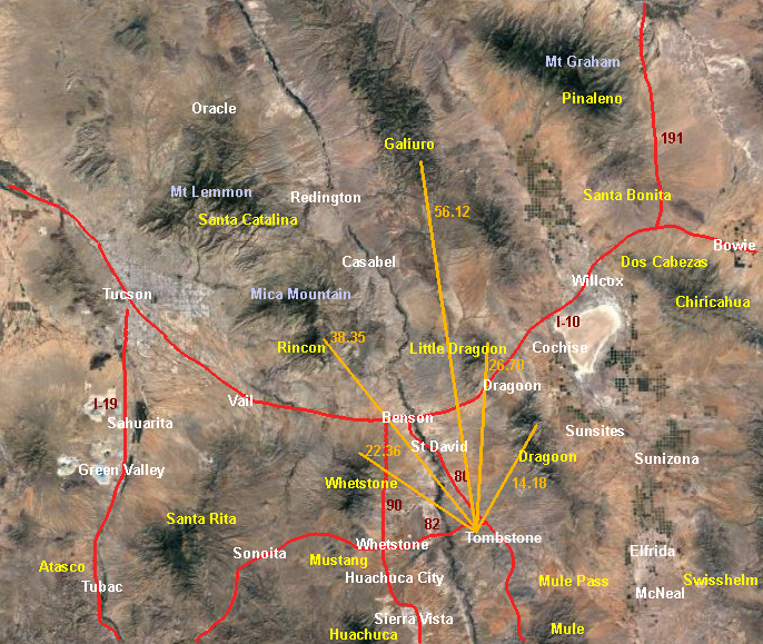
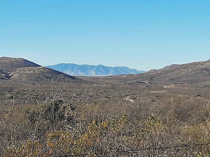
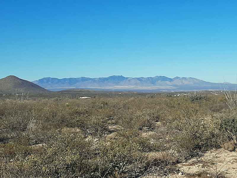
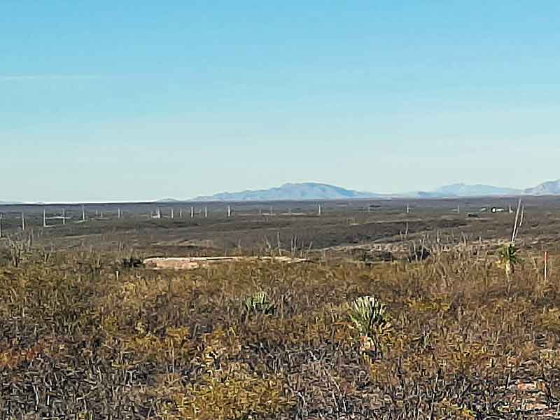
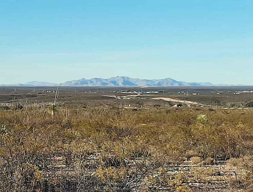
Guests often ask about the mountains they can see when from the Schieffelin Monument overlook near the city cemetery. The following map shows all of the visible mountain ranges and an approximate distance to each.
Views
West: The Huachuca Mountains, about 20 miles. This is where Sierra Vista and Fort Huachuca are located.
Northwest: The Whetstone Mountains, about 25 miles. Kartchner Caverns State Park and Benson are at the right end of this range.
Northwest: The Rincon Mountains, about 40 miles. Tucson is on the other side of this range.
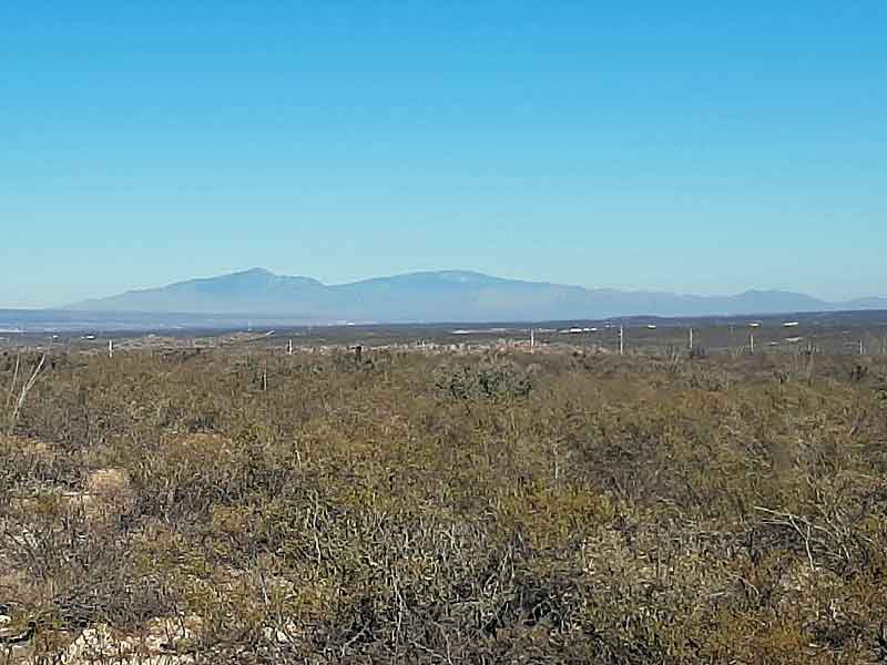
North: The Galiuro Mountains, about 60 miles. This barely visible range rises over 7000 feet and is a popular hiking area.
North: The Little Dragoon Mountains, about 30 miles. This range is just north of I-10 near Texas Canyon.
East: The Dragoon Mountains, about 15 miles. This is the beautiful rugged mountains clearly visible from all over Tombstone.